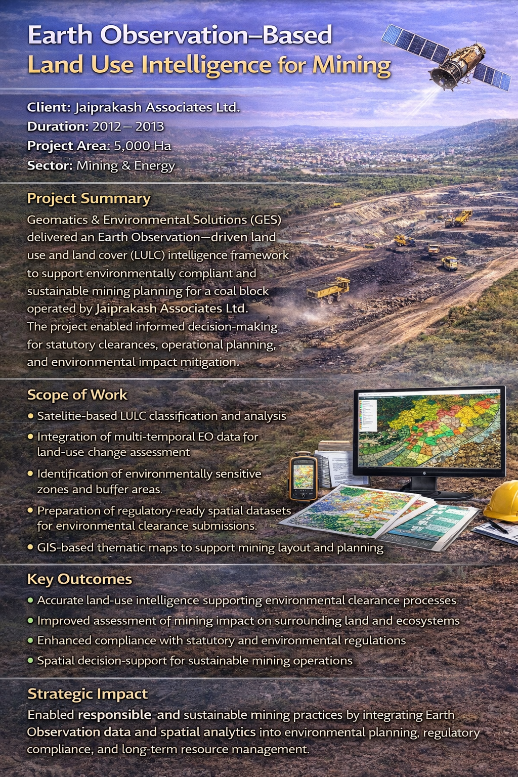
GEOSPATIAL SCIENCE & EARTH OBSERVATION
UNVEILING THE WORLD THROUGH ADVANCED REMOTE SENSING
Explore Service Capabilities
- Optical & SAR satellite data processing
- Digital photogrammetry & orthomosaic generation
- DEM, DTM & terrain modelling
- AI/ML-based geospatial analytics
- EO-integrated decision support systems
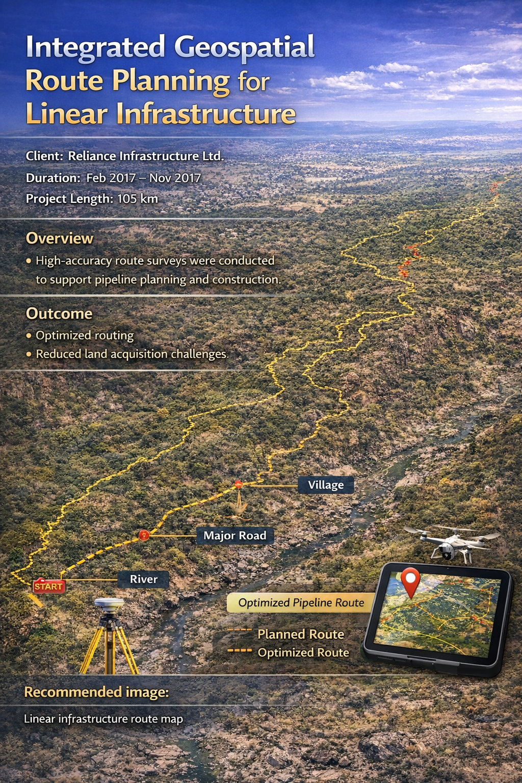
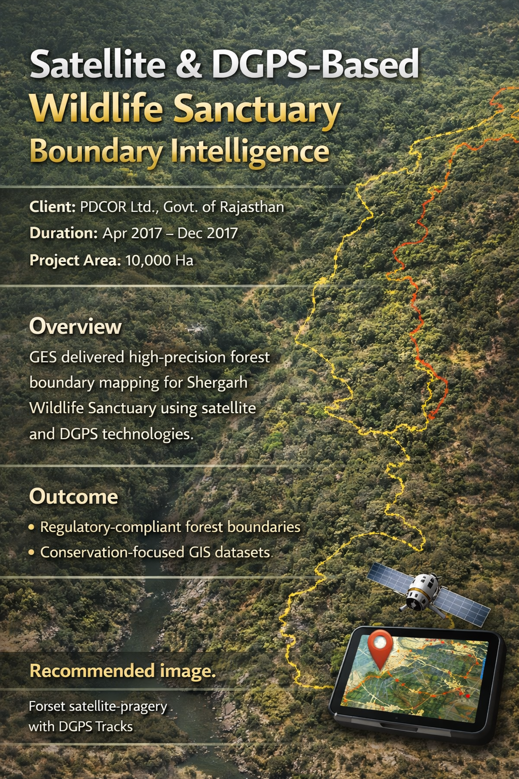
SURVEYING & MAPPING
PRECISION THAT SHAPES THE FUTURE
Explore Service Capabilities
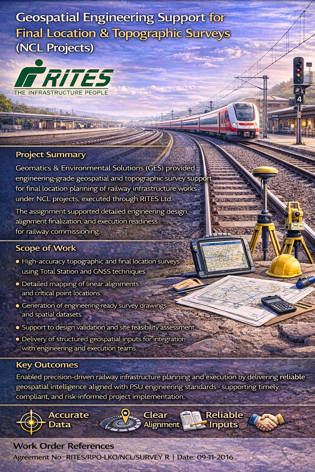
- Topographic & Cadastral Surveys (Total Station, GNSS, DGPS)
- High-Precision UAV/Drone-Based Land Survey & Mapping
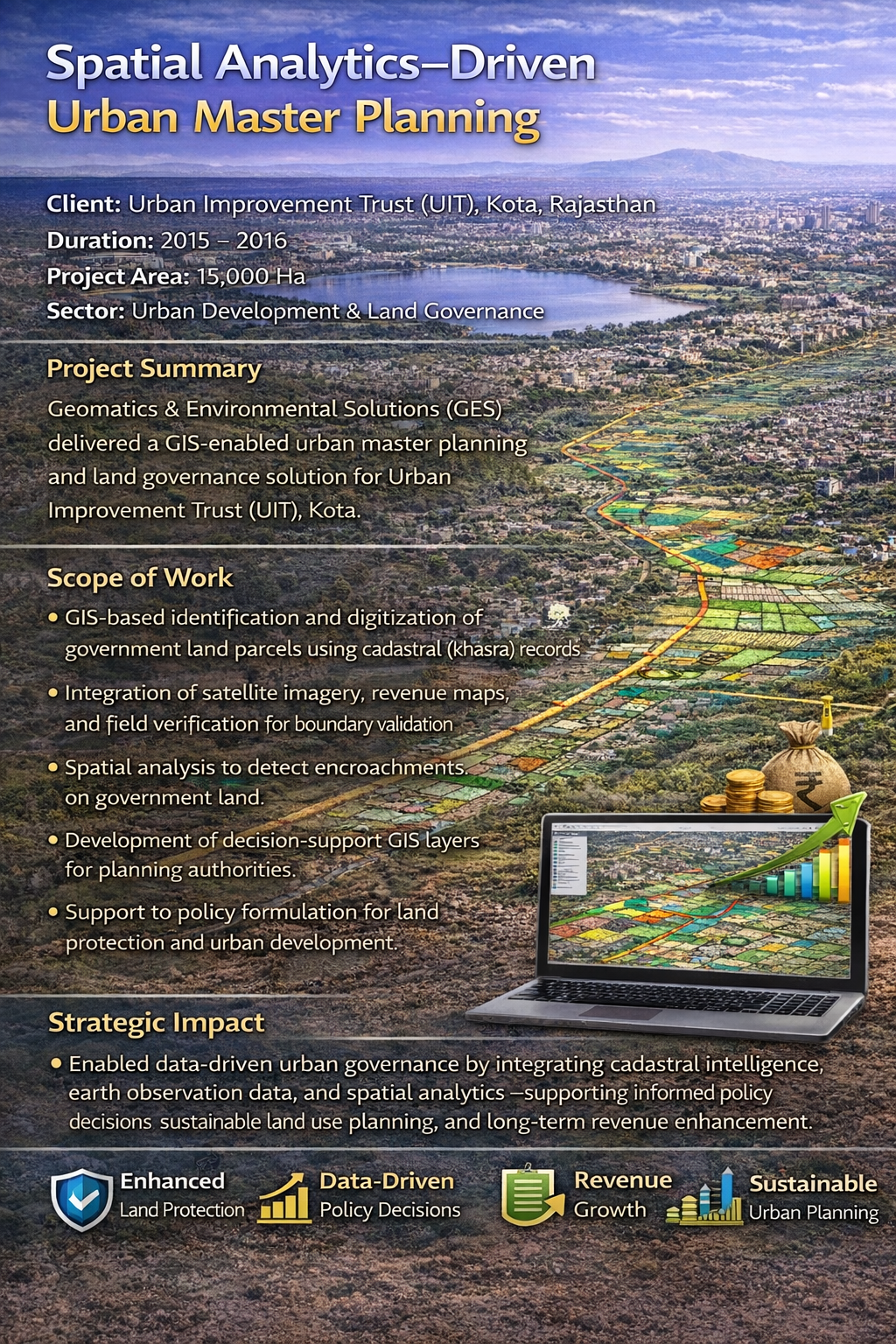
- Land Administration & Strategic Master Planning
- Land Administration
- Layout Planning and Land Database Creation

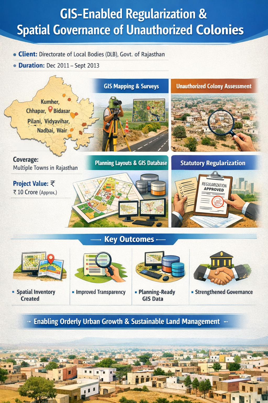
GIS SOLUTIONS & SPATIAL INTELLIGENCE
MAPPING THE FUTURE WITH DATA-DRIVEN INSIGHTS
Explore Service Capabilities
- GIS Mapping & Municipal GIS Solutions
- Advanced Spatial Analysis & Predictive Modeling
- Web GIS Development & Cloud-Based GIS Implementation
- 3D Geospatial Visualization & Professional Cartography

URBAN & REGIONAL PLANNING
DESIGNING SUSTAINABLE & SMART CITIES
Explore Service Capabilities
- Integrated Urban & Regional Planning Solutions
- Land Acquisition & Layout Planning for Renewable Energy Projects
- Municipal Asset Management & GIS-Based Infrastructure Monitoring
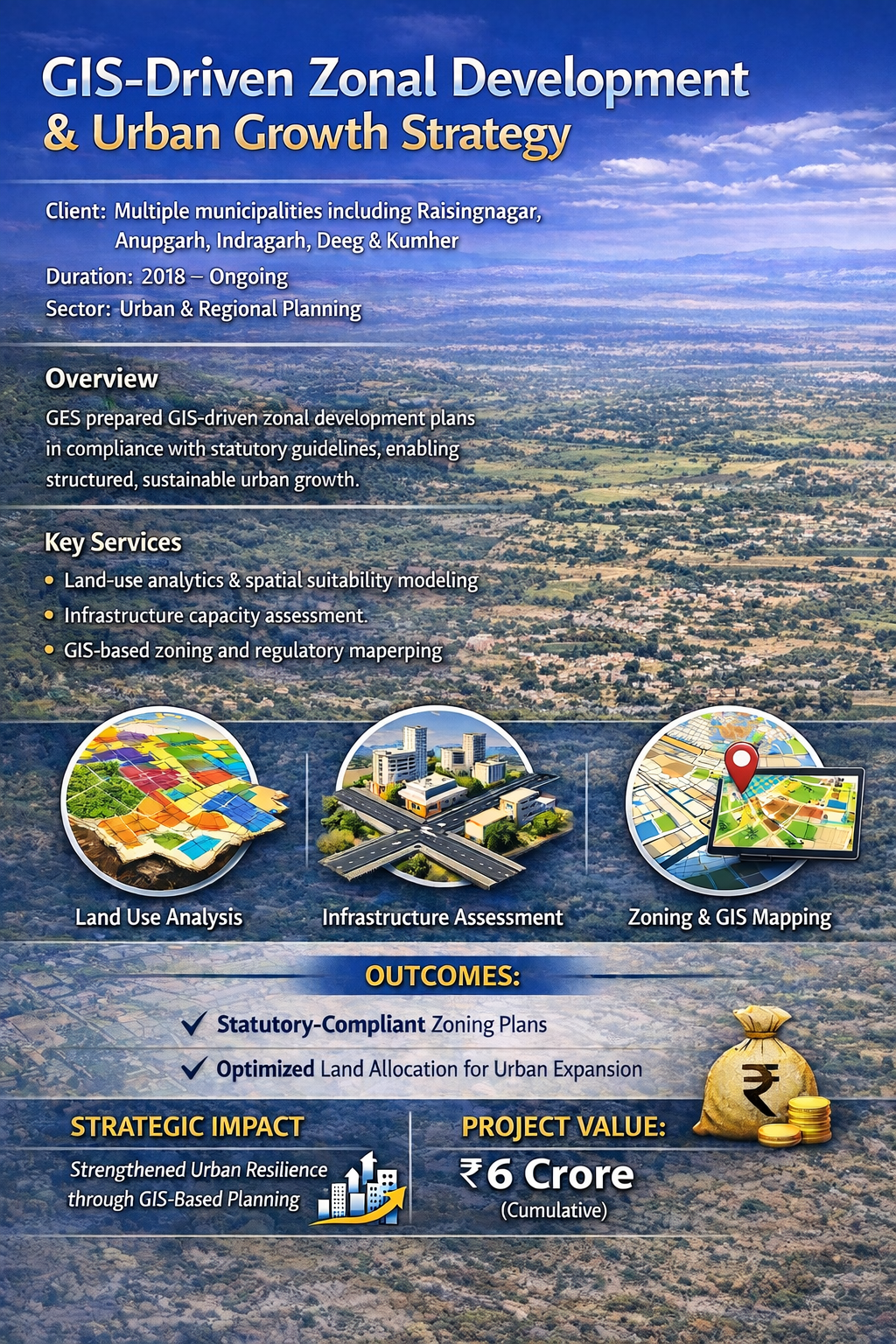
- Master plans, zonal plans, and sector plans
- Smart city and municipal planning
- Property Tax Register

ENGINEERING & INFRASTRUCTURE GIS
ENHANCING INFRASTRUCTURE WITH SPATIAL PRECISION
Explore Service Capabilities
- GIS for Property, Land Records & Real Estate Management
- Engineering DPR for Infrastructure, Smart Cities & Development Projects
- Precision Agriculture & Smart Asset Management Solutions

ENGINEERING DPR PREPARATION
COMPREHENSIVE PLANNING FOR SUSTAINABLE INFRASTRUCTURE
Explore Service Capabilities
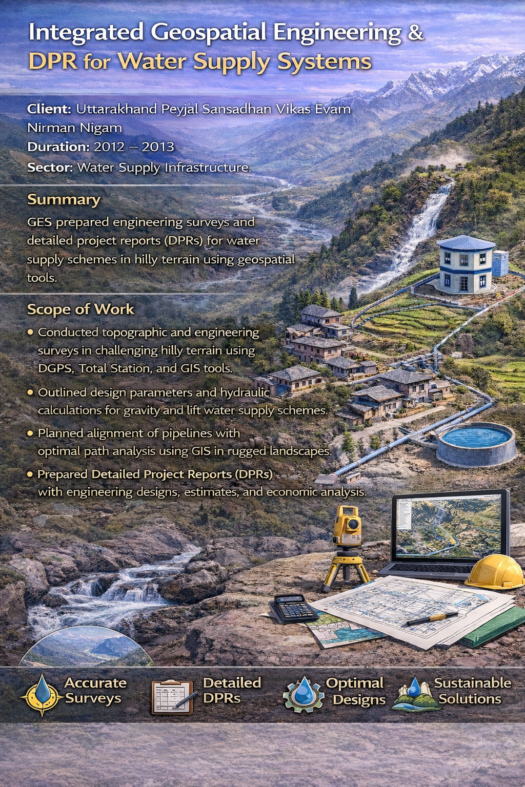
- Detailed Project Reports (DPR) for Sewage Systems, Drainage Networks, and Water Supply
- Stormwater Management & Irrigation Planning
- Construction Planning for Large-Scale Infrastructure Development

CONSTRUCTION & CIVIL WORKS
BUILDING TOMORROW’S INFRASTRUCTURE TODAY
Explore Service Capabilities
- Expertise in Planning & Executing Infrastructure Projects
- Integration of Civil Works with GIS & Municipal Growth Strategies
- Sustainable & Data-Driven Development Approaches

ENVIRONMENTAL & NATURAL RESOURCE MANAGEMENT
GEOSPATIAL INTELLIGENCE FOR ENVIRONMENTAL SUSTAINABILITY
Explore Service Capabilities
- Environmental Impact Assessments (EIA)
- Forestry, agriculture, and natural resource mapping
- Disaster risk assessment and mitigation planning

PLASTIC WASTE MANAGEMENT
& EPR COMPLIANCE
SUPPORTING STATUTORY COMPLIANCE UNDER PWM RULES
Explore Service Capabilities
- Extended Producer Responsibility (EPR) Registration for Producers, Importers, Brand Owners, Recyclers, and Plastic Waste Processors (PWPs)
- EPR Annual Return Filing with evidence submission and record preparation
- Fulfillment of PIBO EPR Targets across India through authorized collection, recycling, and disposal partners
- Management of Wallet Credits on the CPCB EPR portal
- EPR Credit Generation & Transfer supported with verifiable documentation
- Centralized Data, Documentation & Compliance Management
- Support for EPR Audit Authentication and coordination with approved auditors
- Regulatory Updates & Compliance Monitoring as per CPCB/SPCB/PCC guidelines
- Technical Assistance in Replies to Compliance Notices
What Our Clients Say
Testimonials

Sr. DGM/Civil, RITES Ltd.

Technical Head, Reliance Infrastructure ltd

Project Director, STP
